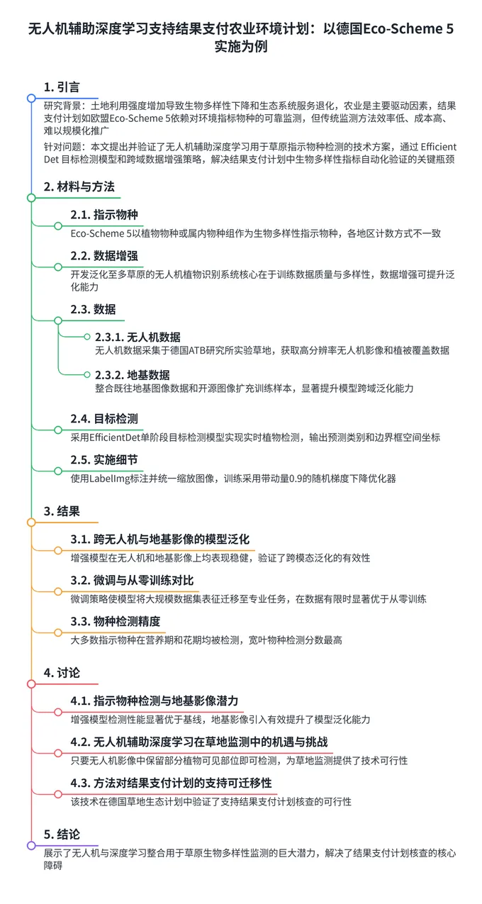
方法论包含数据采集、模型训练和跨域泛化验证三个核心环节。数据采集在德国ATB研究所实验草地进行,同时整合了既往研究和开源数据库的地基图像扩充训练样本,有效提升了模型跨域泛化能力。
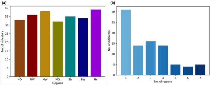
Fig. 2. Sample images of the selected indicators from the UAV and ground-based image (GBI) datasets, illustrating variations in perspective, resolution, and development stages. GBIs I refers to ground-based images from our previous work, whereas GBIs II includes images sourced from the Global Biodiversity Information Facility database (GBIF).目标检测采用EfficientDet单阶段模型,训练采用随机梯度下降优化器并利用数据增强策略提升跨域泛化能力,标注采用开源LabelImg工具完成。
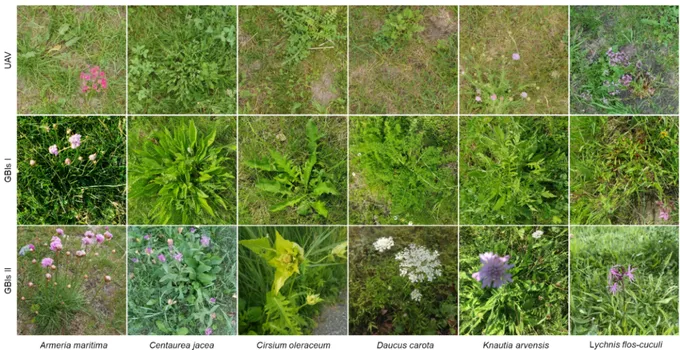
Fig. 3. Schematic overview of the proposed data enhancement approach for cross-domain knowledge transfer between UAV and ground-based image domains. The high-resolution UAV training dataset was enriched with ground-based imagery to enhance model generalization and improve species detection in UAV images. The data enhancement approach was based on the assumption that deep learning models can be applied to learn universal representation across these two image domains.实验结果表明:增强模型在无人机和地基影像上均表现稳健,验证了跨模态泛化的有效性;微调策略在标注数据有限时显著优于从零训练,证明了迁移学习的重要价值;大多数指示物种在营养期和花期均被成功检测,宽叶物种检测分数最高,Daucus carota检测分数最低。结果表明只要无人机影像中保留部分植物可见部位即可实现有效检测,为草地监测提供了技术可行性验证,为农业环境方案的规模化推广奠定了数据基础。

 10个月宝宝每天需要喝多少奶粉?
